BMSD Future Land Use Map
The Future Land Use Map designates land use for properties in Broward Municipal Services District (BMSD) neighborhoods, enclaves and other unincorporated areas in Broward County. These maps were adopted with the BrowardNEXT2.0 Comprehensive Plan amendment.
BMSD Future Land Use Map Index
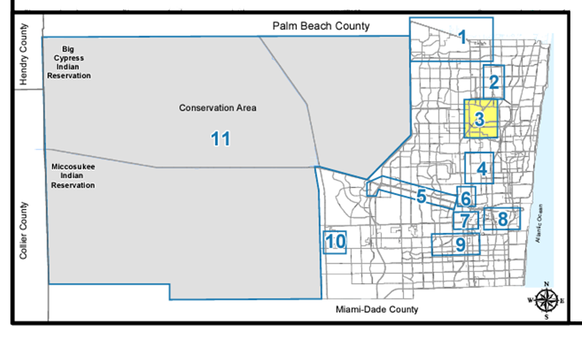
- Sheet 1 - Northwest County
- Sheet 2 - Northeast County
- Sheet 3 - North County
- Sheet 4 - Central County Communities
- Sheet 5 - Central County
- Sheet 6 - Broadview Park
- Sheet 7 - South-Central County
- Sheet 8 - FLL Airport and Environs
- Sheet 9 - South County
- Sheet 10 - West County
- Sheet 11 - Water Conservation Areas (west)
Also, you can use this tool to look up specific parcels in the BMSD, to find land use and zoning:
Land Use & Zoning Tool
The Land Use Designation in the Comprehensive Plan determines how a property may be used. A map amendment may be required when a new use is proposed for a property that is not permitted by the future land use category for that property. Map amendments are typically initiated by the property owner.
For more information please review the Future Land Use Map amendment applications and email your questions to the Urban Planning Division.
